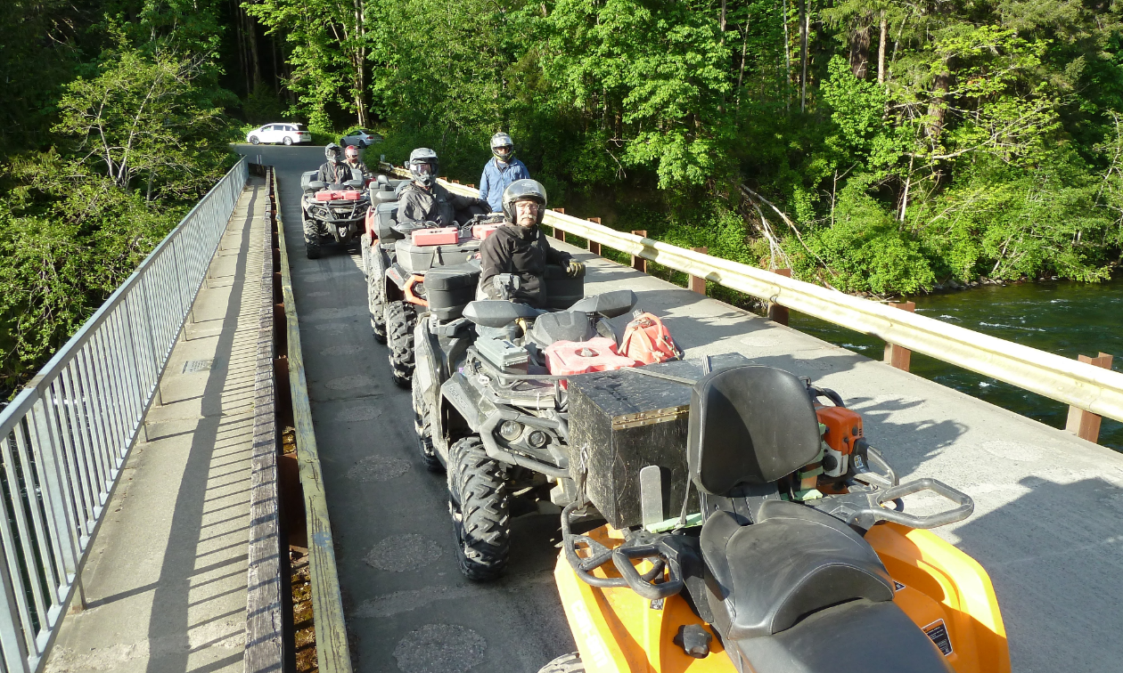
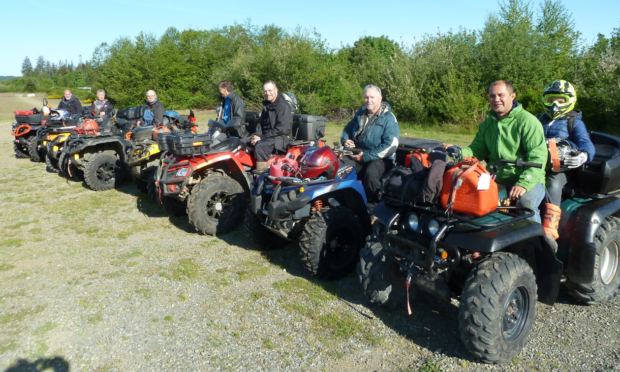
As I arrived at the Willis Shell Station in Campbell River, B.C., three trucks were already unloading their quads. This was going to be a promising day. The sun was bright, but not warm at 8:15 a.m. and the forecast, although cloudy, didn’t call for rain. Perfect. By the time I had unloaded, the group had grown to nine, and I began to explain the riding agenda: we would ride a couple of trails and then travel 15 kilometres to the next trail, continuing this way until we had covered an over 200-kilometre loop.
With the dusty conditions, I was trying out a new signalling idea. I had cut a high-vis vest into four pieces which gave me four fabric panels with reflectors. This way, we would space the group well apart, and I would drop a single panel when there was a fork in the road or an intersection. That kept the whole group moving in formation, with the last rider picking up the markers.

It was a long day, but we completed a giant loop, clocking 230 kilometers altogether. — Photo courtesy Graham Lindenbach
Our first stop was a short trail in The Maze (an aptly named tangle of trails), followed by a steep climb to The Lookout. What a view. Next, we crossed the Strathcona Dam and headed in the direction of Patterson Lake. The route we chose was an old railroad grade, Garrett Lake Spur 12, according to the old maps. Although there is no evidence left of the old lumber camp, it led us past the sparkling waters of the lake, which was good enough for me. As we neared Menzies mainline, we saw one of the largest trestles still standing, covered in moss. We paused here for a moment to appreciate the structure, long unused, but still marking an important part of the Island’s logging history. We then headed inland the mainline which we rode until the very end, with one detour around a bridge that was out. Finding a beautiful spot by the river, we stopped for a break.

We would ride a couple of trails and then travel 15 kilometres to the next trail, continuing this way until we had covered an over 200-kilometre loop. — Photo courtesy Graham Lindenbach
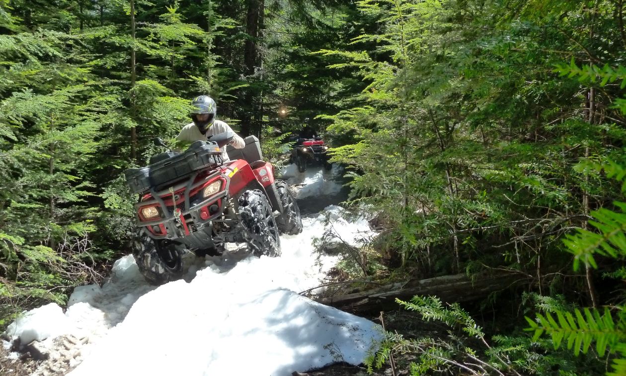
We didn’t stop long though, we still had a long way to go! As we continued inland and gained elevation, I wondered if we would be stopped by snow, even though we were nearly into summer. Passing the turn to the Gold Lake trail, my predictions proved correct, and we caught a glimpse of our first patch of snow. From here the road started climbing, and in no time, the patches of snow lay wherever the shade of towering evergreens offered protection from the sun. Taking a run at it is the only way to make it through, but before anybody could give it a go, we had some work to do. Alder trees lay prostrate under the load of snow, waiting to be released and spring up after the first rider made their attempt. We named this section the Khyber Pass, not because it resembles Afghanistan, but because once you reach it, you are a long way from anywhere.

Patches of snow lay wherever the shade of towering evergreens offered protection from the sun. Taking a run at it is the only way to make it through. — Photo courtesy Graham Lindenbach
After some sawing, clearing, and some momentum-backed driving, we made it through the most difficult part and descended down to Stuart Lake. As we lost altitude, we gained some peace of mind—no more threat of snow blocking our path. We now had several choices of routes back to Campbell River. Ever the adventurers, we picked the route that allowed us to explore some caves. By just before 7 p.m., with fuel lights flashing, we crossed over the Campbell River and finally arrived back at our trucks. It was a long day, but we completed a giant loop, clocking 230 kilometers altogether. We tied our machines down with tired, but satisfied hands; today we’d all become members of the “200 Club.”
Boost adventure tourism by starting your own “200 Club”
This is a typical ride for most avid ATV riders in B.C., a free Saturday spent exploring all the trails their local area has to offer. It got me thinking, it's so much more interesting exploring on a circular route, never retracing your path. In the States, they have Backcountry Discovery Routes, (BDR) created to show off the best of their trails in a loop that is doable in a weekend.
Having ridden all over B.C., there must be hundreds of potential loop routes throughout the province. What if clubs around the province post 200+ kilometer loops? A GPX track, and a description of the ride is all that would be needed. Trails could be posted on ATV B.C.s website and clubs could share them on social media. We could start a province-wide “200 Club” and boost adventure tourism, while founding some trails that can be enjoyed for years to come.


Comments