Like many other ATV clubs, the Revelstoke ATV Club had to restructure itself in many ways throughout 2020. Meetings were conducted via phone or held in a designated area where proper procedures could be followed. Events and club rides were jumbled but still able to take place so long as there was social distancing.
“It has been a challenging year, but nevertheless, we are moving forward,” said Ron Laroy, co-founder of ATVBC and the Revelstoke ATV Club.
Last year, and possibly again this year, the demographics of the annual GPS/ATV ride changed due to COVID. What used to be a camping weekend with ATVers from all over the province and Alberta has changed into a ‘buy online’ event. This has proven very popular as it gives more time to locate the hidden GPS markers, camp with friends and spend more time enjoying the area (more on this below).
Most of Revelstoke’s riding is on active and inactive forest service roads and old mining roads. In mountainous areas like Revelstoke, these roads can take riders to the top of a mountain or into a vast valley that stretches between more mountain ranges.
“The Club promotes multi-use trails and the use of closed rail beds,” said Laroy. “We respect the environment and practice what we preach by picking up garbage while on a ride, clearing trails and encouraging respect for each other’s choice of recreation.”
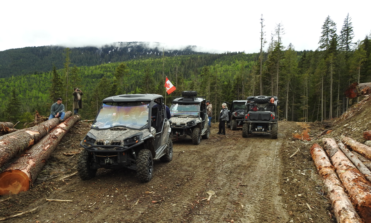
Shelter Bay, south of Revelstoke, where the access to many kilometers of forest service roads offers a lot of riding to many different areas. — Photo courtesy Ron Laroy
Here’s everything you need to know to ride in and around Revelstoke, B.C.
How big is the Revelstoke ATV Club’s riding area?
The Revelstoke ATV Club’s riding area extends north to Mica Creek, east to Glacier National Park, south to Shelter Bay and west to Malakwa.
What are Revelstoke’s most popular trails?
Sproat Mountain Fire Tower Trail, which offers a challenging, scenic ride to a historic site.
Shelter Bay, south of Revelstoke, where the access to many kilometers of forest service roads offers a lot of riding to many different areas.
The Wap Lake area west of Revelstoke offers a lot of riding on forest service roads and is the area the Club holds some of their major events.
West of Revelstoke is Gorge Road and North Fork Road. These roads lead into some scenic areas such as Pettipiece Pass and the village of Seymour Arm.
North of Revelstoke, into the ‘Big Bend’ country, many forestry roads will take you to the top of old mining areas.
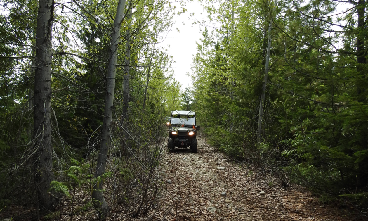
Most of Revelstoke’s riding is on active and inactive forest service roads and old mining roads. — Photo courtesy Ron Laroy
What events does the Revelstoke ATV Club organize?
The Club’s major event for the season is the annual GPS/ATV Ride, which the club has been sponsoring for the last 15 years and typically takes place in July. For the GPS/ATV Ride, over 100 GPS points are hidden within a 100-kilometre area along the Wap/Mable forest service road network. GPS hands are then sold to those taking part. It’s similar to a poker ride, but instead of stopping at checkpoints, riders have to find these hidden markers in the form of a small plaque with an identity serial number on it and take a picture of the plaque. When all are found, riders turn in their hands. This happens over the weekend of the event.
To eliminate the need for camping in large numbers, the Revelstoke ATV Club changed the event so the hands can be sold online. That way riders have the entire summer to spend looking for the markers with an end of summer draw of the hands to determine the winning entry. This has proven to be very successful as it allows the person looking for markers a longer period of time to find them.
What initiatives has the Revelstoke ATV Club taken lately?
The club continues to improve on the Sproat Trail and the structure. This year’s improvements will include the installation of a new toilet (outhouse) on site, along with a picnic table. Painting the tower will be a priority along with more work done on the road/trail. The project, depending on the success of obtaining grants, should run in the area of $25,000.
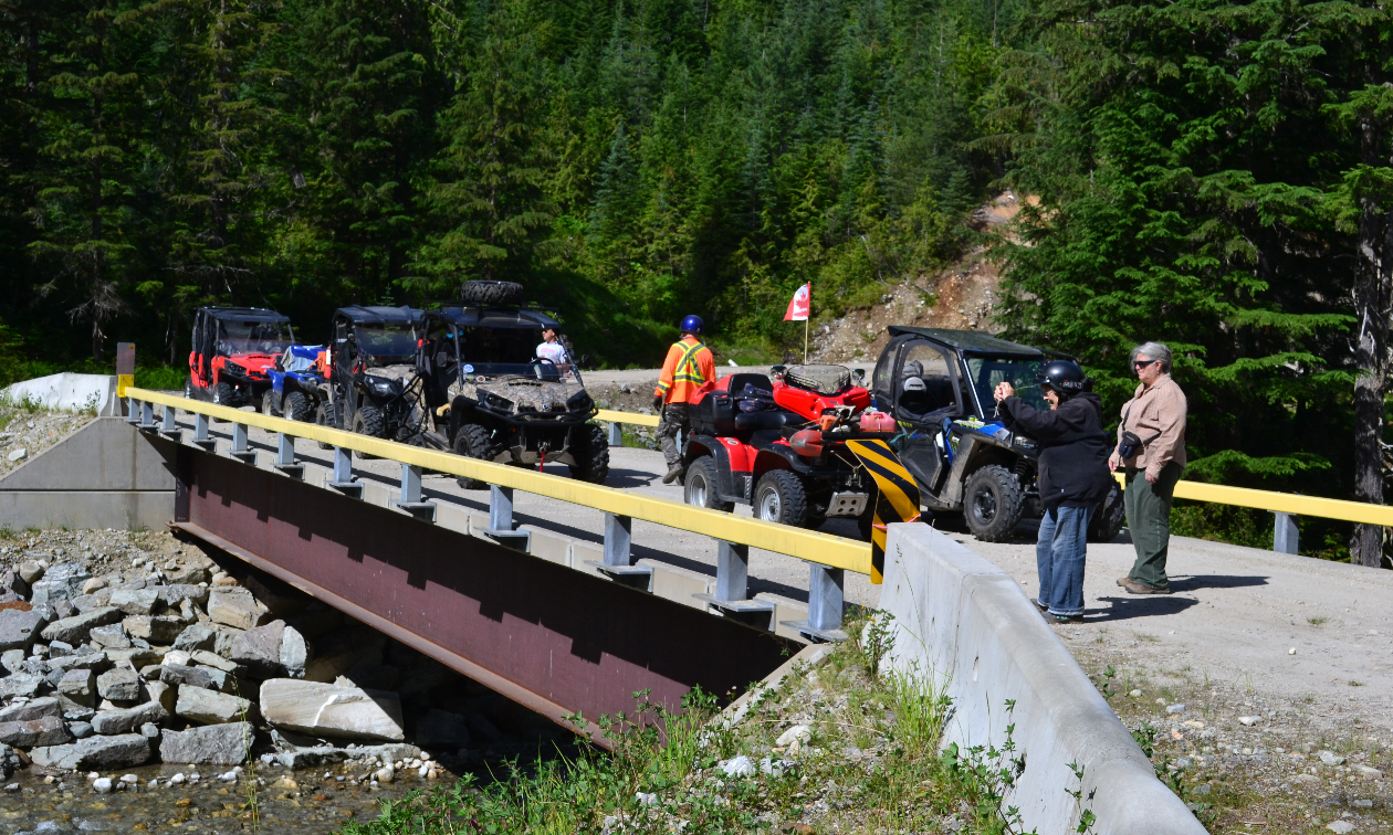
West of Revelstoke is Gorge Road and North Fork Road. These roads lead into some scenic areas such as Pettipiece Pass and the village of Seymour Arm. — Photo courtesy Ron Laroy
What are the Revelstoke ATV Club’s plans for the upcoming riding season?
Along with the Sproat project, the GPS/ATV Ride is once again a ‘go’ for this summer, probably under the same format as last year if restrictions continue to be in place.
Other club rides will possibly include rides to the Sandon area as well as the Meadow Creek area. One-day weekend rides will take place with the hopes of exploring new areas.
The Wayne Davis Memorial Ride will once again take place in the Pettypiece area.
When does the Club have meetings?
Meetings are the first Thursday of each month starting in April and ending in October.
If I want more information about the club or the area, who should I contact?
Ron Laroy, secretary of the Revelstoke ATV Club: [email protected]




Comments