While riding your quad, how often have you stopped to gaze at a distant sight, maybe a waterfall or an old cabin on the side of a canyon? And how often have you wished you could ride (and/or hike) to this distant landmark?
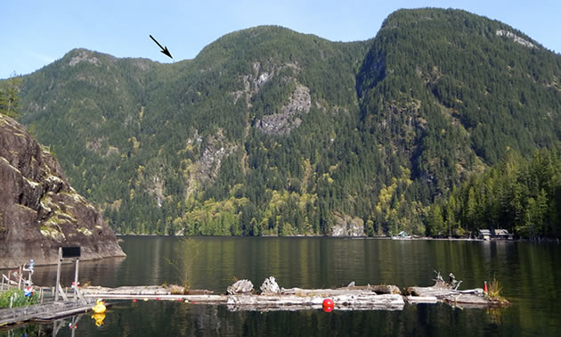
From my floating cabin on Powell Lake, B.C., I look across the water towards a nearly-vertical 2,500-foot cliff. The trees there are tall, but none are bigger than the two isolated firs I’ve watched for years. Through binoculars, these giants stand out distinctly on the ridge. It seems apparent that loggers from an earlier era left these two trees as a tribute to old-growth firs. If so, they’re in an old logging slash that may be accessible from an existing trail. The good news is the area is near a logging road on the other side of the ridge, although it’s a circuitous route to get there.
On my first attempt to find “Two-Trees,” I used my handheld GPS to get close. Approaching the ridge on my quad, the old logging road dwindled to an impassable trail. I knew I was near my goal, but which direction to go from here? After withdrawing back down the road that first day, I returned home and used Google Earth on my computer, drawing a sightline from my cabin to the area of the ridge where the trees are located. On my next quad ride, I used the revised GPS waypoint and the map printed from Google Earth, and stopped at the boundary of an old logging slash. With daylight running out, I again retreated back down the trail, still without reaching Two-Trees.

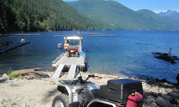
The Lutzes offload their quads on Powell Lake to find Two-Trees. — photo courtesy Wayne Lutz
My big break came a few months later, during winter, when a boat pulled up to my cabin. A local logger stepped out and introduced himself. He’d read my latest book about quad riding, Powell Lake by Barge and Quad, in which I wrote about my years-long quest to find Two-Trees. He handed me a map on which he had marked the suspected site of the giant firs. Although he’d never seen these trees himself, he knew of the old logging slash, and seemed certain of the exact location of the two trees. Armed with this new map and my GPS, I’m very close to ending my quest as soon as the quad riding season returns. Of course, I’ll still have to slog across the old slash on foot.
The bottom line—I’m still seeking Two-Trees, but I’ve learned a lot about finding distant landmarks in the process.
First, Google Earth is a valuable resource for all quad riders, as are local maps available online. GPS is, of course, a great tool for finding landmarks, once we know their co-ordinates or position relative to a known location. Similarly, a compass is valuable for drawing sightlines on your map. Local experts with experience in the area are also great assets, and they’re always pleased to help with such a challenge. Regional logging companies hold a wealth of knowledge—try stopping by their local offices for maps and recommendations regarding locating distant landmarks.
Author Wayne Lutz writes books about quad riding in British Columbia. For more information, see his website for Powell River Books.


Comments